History of MIPA
 In an informational age, it is crucial for a company to stay up-to-date and competitive with what it has to offer. At Aquetech, we were up to the challenge of developing a method for groundwater location that would offer our clients a faster, more efficient service that didn’t compromise on accuracy.
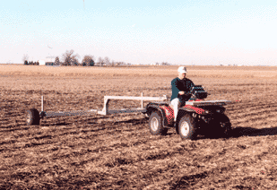
In its early years, Aquetech offered onsite surveys with electromagnetic instrumentation. In fact, the name of our company was derived from the acronym: Aquifer Quest Utilizing Electromagnetic Technology. During those years a lot of data was collected; novel ideas were tested; and in 2002 Aquetech received a patent for its method of locating groundwater.
As the turn of the millennium brought its exciting technological advances, Aquetech turned its attention to understanding the developing methods using aerial photography and satellite imagery. The two most popular procedures used in this emerging branch of technology were a) fracture trace analysis and b) topographical analysis. While the convenience of these internet-based services was attractive, the results were still variable enough to cause many service providers to employ a two-step process where online findings would subsequently need to be verified by follow-up onsite measurements.
When MIPA was developed, it streamlined this process. Onsite geophysical measurements are no longer required for accurate results with MIPA.